Yorkshire Wolds Way

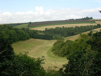
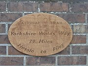
The Yorkshire Wolds Way is a long-distance footpath in the East Riding of Yorkshire, designated a 'National Trail'. It runs 79 miles the length of the riding, from Hessle on the north shore of the Humber (53°43’26"N, 0°26’10"W) to Filey on the North Sea coast (54°12’36"N, 0°17’31"W), and on its way it explores the Yorkshire Wolds.
At Filey Brigg, the Yorkshire Wolds Way connects with the Cleveland Way, another National Trail.
The official opening took place on 2 October 1982.[1]
Route
The route of the Yorkshire Wolds Way passes close to or through the following places:


Outside links
| ("Wikimedia Commons" has material about Yorkshire Wolds Way) |
- Yorkshire Wolds Way - National Trails
- Yorkshire Wolds Way - The Rambler's Association
- The Long Distance Walkers Association
- Walk the Yorkshire Wolds Way
References
- ↑ [http://www.nationaltrail.co.uk/YorkshireWoldsWay/article.asp?PageId=3&ArticleId=16 Yorkshire Wolds Way chalks up 25 years] - National Trails
Books
- Walking The Wolds Way, David Clensy, 2007. ISBN 978-1-4303-1019-8
- Yorkshire Wolds Way, Roger Ratcliffe, 2011. Official National Trail Guide. ISBN 978-1-84513-643-7
