River Ouse, Yorkshire


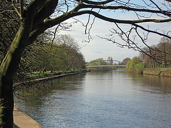
The River Ouse is a river in Yorkshire; one which achieves the distinction of entering all four parts of the county; the three ridings and York-within-the-walls.
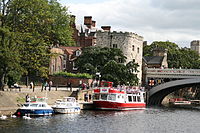
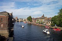
The river is formed from the River Ure at Cuddy Shaw Reach near Linton-on-Ouse, about 6 miles downstream of the meeting of the Ure with the River Swale. The Ouse marks the boundary of the West Riding with the North Riding then enters the city of York, where it swallows the River Fosse. It runs south out of York and marks the boundary between the West Riding and the East Riding, flowing through the towns of Selby and Goole before joining with the River Trent at Trent Falls, near the village of Faxfleet, to form the Humber Estuary. The length of the Ouse is about 52 miles and the combined Ure/Ouse river is about 129 miles, making it the sixth-longest river in the United Kingdom.
The Ouse's system of tributaries (which includes the Derwent, Aire, Don, Wharfe, Rother, Nidd, Swale, Ure, and Foss) drains a large upland area of Yorkshire, including much of the Yorkshire Dales and North York Moors.
The Ouse valley is a wide, flat plain; heavy rainfall in the river's catchment area can bring severe flooding to nearby settlements. In recent years both York and Selby, and villages in between, have been very badly hit.
The river has two weirs with locks, at Linton-on-Ouse and Naburn, so that boats 150 feet in length and of 15-foot beam can reach York. The Ouse is tidal up to Naburn Locks.
In the 18th and 19th centuries there was considerable commercial traffic on the river, mainly from Selby, which then had a custom house, downstream, but after 1826 with the opening of the Aire and Calder Navigation most traffic was concentrated on the port of Goole, which continues until today, though the coal trade which formed its backbone has ceased.
Name of the river
The name "Ouse" is a very common name for rivers in Great Britain. It derives from a British-language word Usa, believed to derive ultimately from an ancient word simply meaning "water".[1] (The English word "otter" is believed to derive from the same Proto-Indo-European root.)
It has been suggested that the "Ouse" was once all known as the "Ure", but there seems to be no supporting evidence for this claim and more credence is given to the assertion that both Ure and Ouse are derived from the same Old Welsh name, reconstructd as Isara.[2]
Towns and villages on the river
Towns and villages on the river from the meeting of the Ure and Swale to the Humber are:
Outside links
| ("Wikimedia Commons" has material about River Ouse, Yorkshire) |
