Wardens' Way

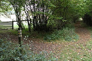
The Wardens' Way is a walking route 13½ miles long in the Cotswolds, all within Gloucestershire. It runs from Bourton-on-the-Water westwards to Winchcombe.
The path provides a link between the Oxfordshire Way (which despite its name starts at Bourton just inside Gloucestershire) and the Cotswold Way.
The Wardens’ Way was created in the 1980s by the Cotswold Voluntary Wardens
There is a sister route too, the Windrush Way, which also runs between Winchcombe and Bourton-on-the-Water, but over the hills.
Route

- Trailheads:
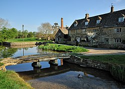
The Wardens' Way winds through the famously beautiful villages of Lower Slaughter and Upper Slaughter, and lesser known villages - Naunton and Guiting Power.
| Bourton-on-the-Water | to | Naunton | 5.5 miles |
| Naunton | to | Winchcombe | 8 miles |
Outside links
| ("Wikimedia Commons" has material about Wardens' Way) |
