Càrn an Rìgh
| Càrn an Righ | |||
| Perthshire | |||
|---|---|---|---|
 Càrn an Righ from Glas Tulaichean | |||
| Range: | Cairnwell Hills | ||
| Summit: | 3,376 feet NO028772 | ||
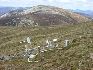
Càrn an Righ is a mountain in Perthshire, amongst the Cairnwell Hills which reaches a height of 3,376 feet at its summit, and so it qualifies as a Munro. It rises steeply from the southwest end of Glen Ey. Its name means "Hill of the King".
The mountain has a subsidiary peak, Stac na h-Iolair, which together and with the ridge between them form an arc round a corrie high in the bulk of the mountain, which corrie is the main summit looks down upon.
The summit is cone-shaped, with steep crags on its southern faces which a walker is wisest to avoid. Steep crags also scar the north of the northeast summit ridge.
Ascent
Carn an Righ is normally climbed in conjunction with its neighbour, Glas Tulaichean to which it is connected by a low col form the southeast ridge of Carn an Righ. The climb starts normally from The Spittal of Glenshee on the A93 to the southeast. It is a long walk in and Glas Tulaichean is the first reached and so normally the first mountain climbed, reaching Carn an Righ across the ridge or col, which col provided the route of descent also.
| Munros in SMC Area SMC Section 6 - Glen Garry to Braemar |
|---|
|
An Sgarsoch • An Socach • Beinn Dearg • Beinn Iutharn Mhòr • Beinn a' Ghlò • Càrn a' Chlamain • Carn a' Gheoidh • Càrn an Fhidhleir • Carn an Righ • Carn Aosda • Càrn Bhac • Beinn a' Ghlò • Beinn a' Ghlò • Glas Tulaichean • The Cairnwell |