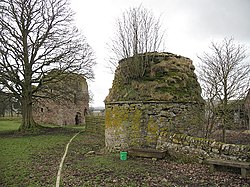
Covington, Lanarkshire

Covington is a parish in the Upper Ward of Lanarkshire. It is located seven miles south-east of the county town, Lanark, and 36 miles south-east of Glasgow. Containing the village of Thankerton, it had a population of 693 in 2011.
It is bounded by Carmichael to the west; by Pettinain to the north; by Libberton to the east; and by Symington to the south. At the extreme south of the parish is a quad-point with the parishes of Carmichael, Covington, Symington and Wiston & Roberton at the summit of Tinto.
The name "Covington" was first recorded in the late 12th century in the Latin form Villa Colbani, "Colban's or Cowan's village", and 20 years later as Colbaynistun.[1]
References
- ↑ "The Covington History". Covington History. http://www.covingtonhistory.co.uk/Lanarkshire.htm. Retrieved 11 October 2020.
Outside links
- Location map: 55°37’37"N, 3°38’24"W
This Lanarkshire article is a stub: help to improve Wikishire by building it up.