Friern Barnet
| Friern Barnet | |
| Middlesex | |
|---|---|
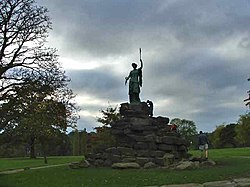
 Friary Park, Friern Barnet | |
| Location | |
| Grid reference: | TQ276920 |
| Location: | 51°36’45"N, 0°9’30"W |
| Data | |
| Post town: | London |
| Postcode: | N10, N11, N12 |
| Dialling code: | 020 |
| Local Government | |
| Council: | Barnet |
| Parliamentary constituency: |
Chipping Barnet |
Friern Barnet is a town in northern Middlesex, one of a group of towns spread across the border of Middlesex and Hertfordshire bearing the name of "Barnet". Barnet itself is a Hertfordshire town, but on the Middlesex side lies Friern Barnet.
Friern Barnet is at the edge of the urban sprawl. It retains some of its older buildings and ancient trees. The town centre lies along Friern Barnet Lane.
The Barnets
See also:
- Barnet (Hertfordshire)
- Chipping Barnet (Hertfordshire)
- East Barnet (Hertfordshire)
- High Barnet (Middlesex)
- New Barnet

This Middlesex article is a stub: help to improve Wikishire by building it up.