River Ray: Difference between revisions
Jump to navigation
Jump to search
Created page with ':''For the like-named river in Wiltshire, see River Ray, Wiltshire'' thumb|300px|The River Ray. [[File:New River Ray…' |
No edit summary |
||
| Line 1: | Line 1: | ||
{{hatnote|For the like-named river in [[Wiltshire]], see [[River Ray, Wiltshire]]}} | |||
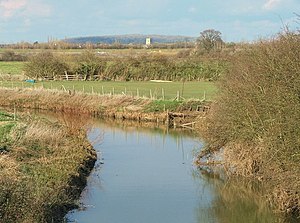
[[File:The River Ray - geograph.org.uk - 742841.jpg|thumb|300px|The River Ray.]] | [[File:The River Ray - geograph.org.uk - 742841.jpg|thumb|300px|The River Ray.]] | ||
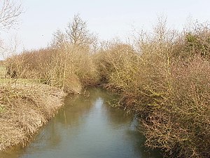
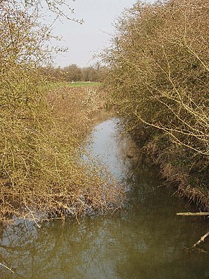
[[File:New River Ray at Oddington - geograph.org.uk - 386616.jpg|thumb|New River Ray at Oddington]] | [[File:New River Ray at Oddington - geograph.org.uk - 386616.jpg|thumb|New River Ray at Oddington]] | ||
Latest revision as of 06:18, 16 September 2016
For the like-named river in Wiltshire, see River Ray, Wiltshire


The River Ray is a river in Buckinghamshire and Oxfordshire. It rises at Quainton Hill and flows west through a flat countryside for around 15 miles. It passes the village of Ambrosden and then flows through Otmoor. It joins the River Cherwell near Islip.
In 1815 a new channel was cut between Charlton-on-Otmoor and Oddington, known as the New River Ray, to divert much of the water flow around the northern and western edge of Otmoor.[1]
References
- ↑ Mary D. Lobel (editor) (1957). "Parishes: Beckley". A History of the County of Oxford: Volume 5: Bullingdon hundred. Institute of Historical Research. http://www.british-history.ac.uk/report.aspx?compid=101881. Retrieved 15 July 2011.