River Avon, Banffshire


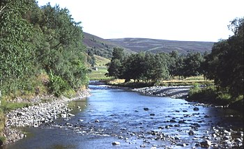
The River Avon is a river of mountain and plain in Banffshire, a major tributary of the River Spey. It drains the north-eastern area of the Cairngorm Mountains and is largely contained within the Cairngorms National Park.
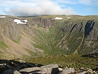
The source of the River Avon is at the very tail end of Banffshire, a burn issuing form the slopes of Ben Macdhui, a slope known as Hells Lum, between Ben Macdhui and Cairn Gorm. The headwaters flow down to Loch Avon in the valley between the two mountains. The river then continues northeast down Glen Avon for another 10 miles before turning north towards the village of Tomintoul and Strathavon.
A mountain, Ben Avon, appears to be named for the river, but while its slopes provide some water to Glen Avon and the swelling river it remains some miles off.
Three "Sites of Special Scientific Interest" are found along the riverside, places rich in broad-leafed woodland, with rare plant species. Wildlife abounds.
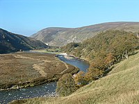
Glen Avon


Glen Avon is a long and beautiful valley. It forges a path across the Caiplich Moors and in a turn north it enters the Glenlivet Estate, a little south of Tomintoul. It continues north along a deep valley between the Cromdale hills, Carn Diamh and Cairnacay before joining the Spey at Ballindalloch
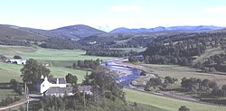
Strath Avon
As the river valley broadens lower down the Avon, it becomes Strathavon, reckoned to be one of the most beautiful river valleys in Britain. On its birch and pine clad slopes scamper roe deer and brown hares while on the river birds flit to and fro, dippers frequently paddling and dipping.
The Avon here is well known in angling circles and renowned for the quality of its salmon fishing.
Downstream lies The Wolf's Lair at Drumin Castle, whilst to the south is Tomintoul, the highest village in the Highlands.
Name of the river
The river's name is pronounced locally as ˈɑːn, as is the name of Loch Avon close to its source.
The name "Avon" is common as a river-name in the British Isles, and means simply "river". In the case of the Banffshire Avon, it may take its name from Pictish or Gaelic (Modern Gaelic abhainn means 'river' or 'stream') or from a common ancestral tongue.
Tributaries
Over the first few miles flowing east through the Forest of Glenavon, the Avon gathers to itself numerous small burns, the most notable of which are the Burn of Loin and the Builg Burn originating at Loch Builg.
A mile to the southwest of Tomintoul, the Water of Ailnack enters from the confines of a precipitous gorge; the higher reaches of this watercourse are known as the Water of Caiplich.
Downstream of Tomintoul, the Conglass Water originating at the Lecht, enters from the east and the Burn of Lochy enters from Glen Lochy to the west. Above Bridge of Brown, the Lochy is fed in turn by the Burn of Brown. The lowermost tributary of the Avon is the River Livet which enters from Glenlivet on the right bank at Drumin just as the Avon leaves the national park.[1]
Outside links
- Avonside – on Glenlivet Wildlife
References
- ↑ Ordnance Survey 1:50,000 scale Landranger map sheets 28 Elgin and 36 Grantown & Aviemore