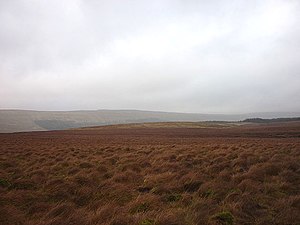
Cam Fell
| Cam Fell | |||
| Yorkshire | |||
|---|---|---|---|
 Moorland on Cam Fell | |||
| Range: | Yorkshire Dales | ||
| Summit: | 1,437 feet SD805802 54°13’2"N, 2°17’58"W | ||
Cam Fell is a broad hill amongst the Yorkshire Dales, in the West Riding of Yorkshire. It in the very west of the Riding.
The hill is to the north of Ling Gill, and to the east of Ribblehead and the Ribblehead Viaduct.
The Pennine Way runs over the summit of the fell.