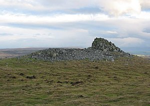
Crosby Ravensworth Fell
| Crosby Ravensworth Fell | |
| Westmorland | |
|---|---|

| |
| Summit: | 1,316 feet NY593108 54°29’29"N, 2°37’45"W |
Crosby Ravensworth Fell is a broad, heather-clad fell in of Westmorland, amongst the hills which connect the Pennines with the Lake District.
A Roman road runs over the fell, from what is now Tebay northwards to the dale of the Lyvennet. Below the scarp slope on the west side of the fell runs a more modern route – that of the M6 motorway and the parallel B-road, the B6261, in the dale of the Birk Beck. The highest point on the motorway, known as the Shap Summit, is here.
The River Lyvennet rises on the northern slopes of the fell, in a series of burns cutting small, wooded gulleys, soon united to run northwards to Crosby Ravensworth village and beyond.
Conservation
Much of Crosby Ravensworth Fell is a 'site of special scientific interest', for the wealth of plant-life on its slopes.[1]
This is reckoned one of the few remaining areas of lowland heathland within the Lake District. The protected heathland is on the northern flanks of the hill. The heath here is common land, managed as a sheep walk and grouse moor. It displays limestone pavements, which are the western outliers of the Great Asby Complex of pavements.
Outside links
- Crosby Ravensworth Fell walk on My Yorkshire Dales
References
- ↑ SSSI listing and designation