Prawle Point

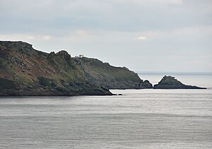
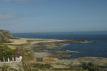
Prawle Point is a coastal headland in south Devon, forming the southernmost point of the county, a headland bound with high cliffs.
Access is from the village of East Prawle along a single-track road, at the end of which is a National Trust car park.
The National Coastwatch Institution (a voluntary organisation keeping a visual watch along Britain’s shores) has a station at the point.[1]

The area around the point is a noted area for cirl bunting, a localised bird in Britain, while the area has also attracted many rare vagrant birds including Britain's second chestnut-sided warbler.
The point is included within the Prawle Point and Start Point Site of Special Scientific Interest.
Many ships have been wrecked at Prawle Point, the most recent being in December, 1992, when the ship Demetrios, formerly the Long Lin from China was being towed by a tug from Dunkirk to a Mediterranean scrapyard. During terrible gales in the English Channel, the tow broke and the Demetrios drifted helplessly. The ship struck the rocks at Prawle Point on 18 December, breaking her back in a few hours. The wreck attracted huge crowds for many weeks, and eventually a local salvage company cut up the ship and towed away the remains to Plymouth. However, the cost of scrapping the ship sent them into liquidation. Some remains were left over and are still visible today.
Location
- Location map: 50°12’6"N, 3°43’19"W
References
- ↑ Prawle Point Station – National Coastwatch Institution
- Larne, R and B. (2000). Shipwrecks of South Devon, page 20. ISBN 1-899383-35-2
- Some information on the Wreck of the Demetrios