Template:FP-The Wash: Difference between revisions
Jump to navigation
Jump to search
No edit summary |
No edit summary |
||
| Line 6: | Line 6: | ||
From at least the 16th century up to the eighteenth century the name of the bay was in the plural; "the Washes", from the Old English ''wæsc''; a sandbank washed by the sea. | From at least the 16th century up to the eighteenth century the name of the bay was in the plural; "the Washes", from the Old English ''wæsc''; a sandbank washed by the sea. | ||
The eastern coast of the Wash is entirely within Norfolk. The opposing coast, which is roughly parallel to the east coast, runs from Gibraltar Point to the mouth of the River Welland, is all within Lincolnshire.}}<noinclude> | The eastern coast of the Wash is entirely within Norfolk. The opposing coast, which is roughly parallel to the east coast, runs from Gibraltar Point to the mouth of the River Welland, is all within Lincolnshire.}}<noinclude>{{FP data}} | ||
Latest revision as of 21:13, 6 March 2018
 |
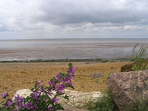
The WashThe Wash is the square-mouthed bight on east coast of Britain where Norfolk meets Lincolnshire. It is technically an estuary, into which flow several rivers and is among the largest estuaries in the United Kingdom, fed by the Rivers Witham, Welland, Nene and Great Ouse. From at least the 16th century up to the eighteenth century the name of the bay was in the plural; "the Washes", from the Old English wæsc; a sandbank washed by the sea. The eastern coast of the Wash is entirely within Norfolk. The opposing coast, which is roughly parallel to the east coast, runs from Gibraltar Point to the mouth of the River Welland, is all within Lincolnshire. (Read more) |