Wet Sleddale: Difference between revisions
Jump to navigation
Jump to search
No edit summary |
No edit summary |
||
| Line 13: | Line 13: | ||
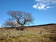
| [[File:Oak tree and Wet Sleddale deer enclosures, Westmorland - geograph-2858982.jpg|right|thumb|220px|Wet Sleddale deer enclosures]] | | [[File:Oak tree and Wet Sleddale deer enclosures, Westmorland - geograph-2858982.jpg|right|thumb|220px|Wet Sleddale deer enclosures]] | ||
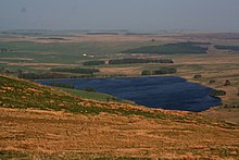
| [[File:Wet Sleddale Reservoir 2134587.jpg|right|thumb|220px|Wet Sleddale Reservoir]] | | [[File:Wet Sleddale Reservoir 2134587.jpg|right|thumb|220px|Wet Sleddale Reservoir]] | ||
|} | |||
{{clear}} | {{clear}} | ||
==References== | ==References== | ||
Latest revision as of 22:33, 26 September 2017

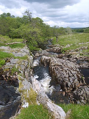
Wet Sleddale is a small valley in Westmorland carved through the Shap Fells by the Sleddale Beck.
The Beck rises on the barely distinguished massif of the fells, and runs north then north-east. The dale lower down is flooded to create the Wet Sleddale Reservoir, which supplies water to South Lancashire.
Below the reservoir, the waters emerging down the final stretch of the dale form the River Lowther.
Alfred Wainwright wrote of the hills around the dale, describing a walk known as the Wet Sleddale Horseshoe, in his work The Outlying Fells of Lakeland.[1]
 |
 |
References
- ↑ Wainwright, Alfred: The Outlying Fells of Lakeland (1974)