Difference between revisions of "Llanelly"
(Created page with ':''Not to be confused with Llanelli in Carmarthenshire {{Infobox town |name=Llanelly |welsh=Llanelli |county=Brecknockshire |picture=Afon Clydach - geograph.org.uk - 4326…') |
|||
| Line 1: | Line 1: | ||
| − | + | {{Hatnote|Not to be confused with [[Llanelli]] in [[Carmarthenshire]]}} | |
{{Infobox town | {{Infobox town | ||
|name=Llanelly | |name=Llanelly | ||
Latest revision as of 17:28, 7 August 2014
| Llanelly Welsh: Llanelli | |
| Brecknockshire | |
|---|---|
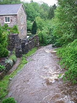
 The Clydach and Old Forge House near Llanelly | |
| Location | |
| Grid reference: | SO232148 |
| Location: | 51°49’35"N, 3°6’57"W |
| Data | |
| Local Government | |
| Council: | Monmouthshire |
Llanelly is a village Brecknockshire, standing on the hillside overlooking the valley of the River Usk close to the boundary with Monmouthshire, and some 4 miles west of Abergavenny. It is commonly known as Llanelly Hill.
Below the village, the Usk shares its valley with the Monmouthshire & Brecon Canal, which links the town of Brecon with the villages of eastern Monmouthshire.
The village and parish are within the Brecon Beacons National Park, which extends all across the modest hills in which Llanelly sits.
Churches
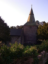
The parish church is dedicated to St Elli, which dedication gives a name to the village: Llanelli is "Ellis's church". In this is shares a name and etymology with the better known town of Llanelli in Carmarthenshire, which itself was known in time past in English as "Llanelly", and in the Welsh language the two do bear the same name.
- Church in Wales: St Elli
- Methodist: Llanelly Hill Methodist Church
