Rhostrehwfa
| Rhostrehwfa | |
| Anglesey | |
|---|---|

| |
| Location | |
| Location: | 53°14’48"N, 4°20’26"W |
| Data | |
| Local Government | |
| Council: | Anglesey |
| Parliamentary constituency: |
Ynys Môn |
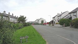
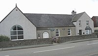
Rhostrehwfa is a village in southern-central Anglesey, located southwest of Llangefni. To the southeast is the Malltraeth Marsh. It is situated at a prominent point on the crest of a ridge overlooking the River Cefni valley to the south. It contains the Capel Pisgah and several holiday cottages.
References
 |
 |

This Anglesey article is a stub: help to improve Wikishire by building it up.