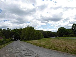
Middlethorpe, East Riding
| Middlethorpe | |
| Yorkshire East Riding | |
|---|---|
 Middlethorpe Farm | |
| Location | |
| Grid reference: | SE891455 |
| Location: | 53°53’55"N, -0°38’40"W |
| Data | |
| Post town: | York |
| Postcode: | YO43 |
| Dialling code: | 01430 |
| Local Government | |
| Council: | East Riding of Yorkshire |
| Parliamentary constituency: |
East Yorkshire |
Middlethorpe is a hamlet in the East Riding of Yorkshire, sitting two and a half miles north-east of its nearest market town, Market Weighton, to the south-east of the A614 road. It consists principally of Middlethorpe Farm.
| ("Wikimedia Commons" has material about East Riding of Yorkshire Middlethorpe, East Riding) |
References
- Gazetteer — A–Z of Towns Villages and Hamlets. East Riding of Yorkshire Council. 2006. p. 8.

This Yorkshire article is a stub: help to improve Wikishire by building it up.
