Hook, Yorkshire
| Hook | |
| Yorkshire West Riding | |
|---|---|
 Church Lane | |
| Location | |
| Grid reference: | SE761255 |
| Location: | 53°43’15"N, -0°50’52"W |
| Data | |
| Population: | 1,292 (2011) |
| Post town: | Goole |
| Postcode: | DN14 |
| Dialling code: | 01405 |
| Local Government | |
| Council: | East Riding of Yorkshire |
| Parliamentary constituency: |
Brigg and Goole |
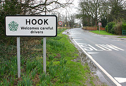
Hook is a village in the West Riding of Yorkshire, about a mile and a half north-east of Goole town centre and lies on the west bank of the River Ouse.
According to the 2011 census, Hook parish had a population of 1,292.


The parish church, St Mary the Virgin, is a Grade II* listed building.[1]
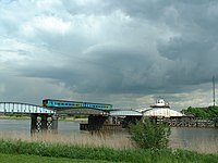
The Ouse here is crossed by a rare railway swing bridge, which is a Grade II* listed structure.[2]
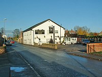
The village has a nearby local school: Hook Church Of England Primary School. There is also a small local post office and two public houses. The village a number of building sites for the purpose of housing development.
| ("Wikimedia Commons" has material about Hook, Yorkshire) |
References
- ↑ National Heritage List 1160360: Church of St Mary (Grade II* listing)
- ↑ National Heritage List 1346710: Railway Swing Bridge Over River Ouse (Grade II* listing)
- Gazetteer — A–Z of Towns Villages and Hamlets. East Riding of Yorkshire Council. 2006. p. 7.
