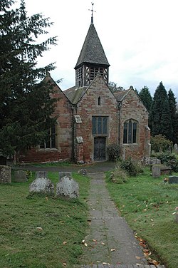
Ribbesford
| Ribbesford | |
| Worcestershire | |
|---|---|
 Ribbesford Church | |
| Location | |
| Grid reference: | SO778735 |
| Location: | 52°21’35"N, 2°19’38"W |
| Data | |
| Population: | 237 |
| Post town: | Bewdley |
| Postcode: | DY12 |
| Local Government | |
| Council: | Wyre Forest |
Ribbesford is a village and parish in the Doddingtree hundred of Worcestershire. At the 2001 census it had a population of 237.[1]
The ancient parish forms part of the lower division of Doddingtree.[2] It incorporates the township of Bewdley, on the right bank of the River Severn, although that town became a separate civil parish in 1866 and has since expanded to both sides of the river.
References
- ↑ Census 2001
- ↑ Worcestershire Family History Guidebook, Vanessa Morgan, 2011, p20 The History Press, Stroud, Gloucestershire.
Outside links
| ("Wikimedia Commons" has material about Ribbesford) |
- Ribbesford in the Domesday Book

This Worcestershire article is a stub: help to improve Wikishire by building it up.
