Din Fell
| Din Fell | |||
| Roxburghshire | |||
|---|---|---|---|
 Din Fell | |||
| Range: | Cheviot Hills | ||
| NY459960 55°15’19"N, 2°51’5"W | |||
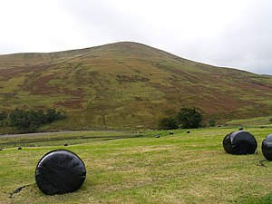
Din Fell is a hill of 1,735 feet in the north-west of the Cheviots, in Roxburghshire.
The fell is well north of Liddesdale, where the Cheviots merge with the other ranges of the Southern Uplands. The Hermitage Water describes a lazy circuit around Din Fell on its way to the Liddel Water. Hartsgarth Fell (1,808 feet) and Roan Fell (1,860 feet) both marking the border with Dumfriesshire, stand to the south.
This Mountain or hill article is a stub: help to improve Wikishire by building it up.