Lakes of Killarney: Difference between revisions
| Line 53: | Line 53: | ||
{{Catself}} | {{Catself}} | ||
[[Category:Lakes of County Kerry]] | [[Category:Lakes of County Kerry|Killarney]] | ||
Latest revision as of 20:30, 8 July 2020

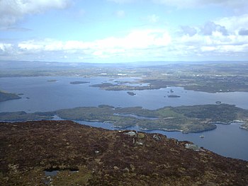
The Lakes of Killarney are a scenic attraction located in Killarney National Park near Killarney, County Kerry.
There are three main lakes:
- Lough Leane
- Muckross Lake (also called Middle Lake) and
- Upper Lake.[1]
Surroundings
The lakes sit in a low valley some 65 feet above sea level.[1] They are surrounded by the rugged slopes of MacGillycuddy's Reeks; Ireland's highest mountains.
The N71 road from Killarney to Kenmare passes a viewpoint called Ladies View which offers a view of the lakes and valleys. On the occasion of Queen Victoria's visit in 1861, the point was apparently chosen by the queen's ladies-in-waiting as the finest in the land; hence the name.
The lakes
Lough Leane
- Main article: Lough Leane

Lough Leane is the largest and northernmost of the three lakes, approximately 4,695 acres (19 km²) in size.[2] It is also the largest body of fresh water in the region.[3] The River Laune drains Lough Leane to the north-west towards Killorglin and into Dingle Bay.
Leane is dotted with small forested islands, including Innisfallen Island, which holds the remains of the ruined Innisfallen Abbey.[1] On the eastern edge of the lake, Ross Island, more properly a peninsula, was the site of some of the earliest Copper Age metalwork in prehistoric Ireland.[4] Ross Castle, a 15th-century keep, sits on the eastern shore of the lake, north of the Ross Island peninsula.
Muckross Lake
- Main article: Muckross Lake

Also known as Middle Lake or Torc Lake, Muckross is just south of Lough Leane.[5] The two are separated by a small peninsula, crossed by a stone arched bridge called Brickeen Bridge.[1] It is Ireland's deepest lake, reaching to 246 feet in parts.[6] A paved hiking trail of approximately six miles circles the lake.
Upper Lake
- Main article: Upper Lake, Killarney

The Upper Lake is the smallest of the three lakes, and the southernmost. It is separated from the others by a winding channel some two and a half miles long.[1]
Gallery
-
Ross Castle visible across Lough Leane
-
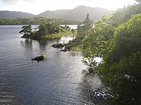
View near Ross Castle
-
Brickeen Bridge, where Lough Leane and Muckross Lake meet
-
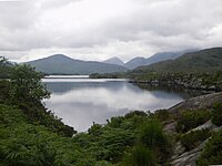
The lakes as viewed from Ladies View
-
Another view from the Ladies View point
-
Hand-drawn map of the Lakes by Alphonse Dousseau (1830-1869)
-
Upper Lake by Fergus O’Connor c. 1920
Outside links
| ("Wikimedia Commons" has material about Lakes of Killarney) |
References
- ↑ 1.0 1.1 1.2 1.3 1.4 'Natural Wonders of the World': Reader's Digest Association, 1980 ISBN 0-89577-087-3
- ↑ "Official Killarney National Park Website". 2007-02-07. Archived from the original on 2007-02-07. https://web.archive.org/web/20070207105247/http://homepage.eircom.net/~knp/sites/index.htm#abb. Retrieved 2017-03-24.
- ↑ Living with Nature: The Designation of Nature Conservation Sites in Ireland - The Department of the Environment and Local Government
- ↑ p142-146, Richard Bradley The prehistory of Britain and Ireland, Cambridge University Press, 2007, ISBN 0-521-84811-3
- ↑ Ballantyne, Robert Michael (1865-01-01) (in en). The Lakes of Killarney. T. Nelson. https://books.google.ca/books?id=jgMoAAAAYAAJ&pg=PA37&dq=muckross+lake&hl=en&sa=X&ved=0ahUKEwiqlsaV9-3SAhUB3WMKHbBxBEUQ6AEIPTAG#v=onepage&q=muckross%20lake&f=false.
- ↑ Enterprise, Foran. "Killarney Lakes". http://www.gleannfia.com/lakes.htm. Retrieved 2017-03-24.


