Pease Dean
From Wikishire
Revision as of 00:13, 11 November 2016 by RB (Talk | contribs) (Created page with "Pease Dean {{county|Berwickshire}} '''Pease Dean''' is the long, steep-sided, wooded valley of...")
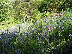
Pease Dean is the long, steep-sided, wooded valley of the Pease Burn in north-eastern Berwickshire. Below the valley the waters reach the coast at Pease Bay.
Much of the valley is a reserve in the care of the Scottish Wildlife Trust, and this reserve includes also the wooded valley of the Tower Burn, which joins the Pease Burn close to the sea.
The nearest village of any size of Cockburnspath to the north.
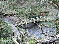
The Southern Upland Way runs down through the valley on its way to the sea at Cockburnspath.
Pease Bridge
Up the valley is the Pease Bridge, which carries the A1107 across the Pease Dean. When it opened in 1786, it was the highest bridge in the world.

