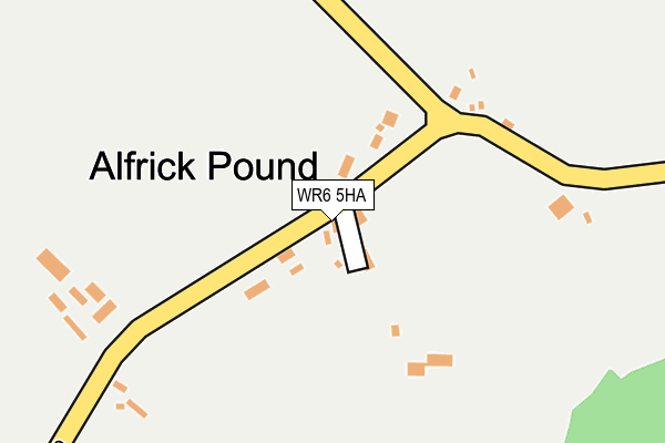
Alfrick Pound
| Alfrick Pound | |
| Worcestershire | |
|---|---|

| |
| Location | |
| Grid reference: | SO744521 |
| Location: | 52°9’60"N, 2°22’35"W |
| Data | |
| Post town: | Worcester |
| Postcode: | WR6 |
| Dialling code: | 01886 |
| Local Government | |
| Council: | Malvern Hills |
Alfrick Pound is a small village in Worcestershire, half a mile south of its parent village, Alfrick.
The village is near the Suckley Hills, which extend north of the Malvern Hills, in a very rural area, approximately ten miles west of Worcester .
History and amenities
The name of the village comes from the location here of the parish pound, where stray livestock were held until the owner was traced or turned up to reclaim them, incurring a small fine in order to do so.
Many of the original houses that stand are half-timbered cottages, an old pub (once called the Wobbly Wheel Inn),[1] a small village school, bakery and even a small police house. None of these are still used for their original purpose and have been modernised and made into private residences though still revealing their old architecture.
A small lane[2] opposite the old Wobbly wheel Inn leads up to the Knapp Nature Reserve.[3]
Outside links
| ("Wikimedia Commons" has material about Alfrick Pound) |