Redenham
| Redenham | |
| Hampshire | |
|---|---|

| |
| Location | |
| Grid reference: | SU301494 |
| Location: | 51°14’34"N, 1°34’12"W |
| Data | |
| Post town: | Andover |
| Postcode: | SP11 |
| Dialling code: | 01264 |
| Local Government | |
| Council: | Test Valley |
| Parliamentary constituency: |
North West Hampshire |
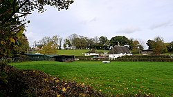
Redenham is a small village immediately north-west of Appleshaw in north-western Hampshire: just over half a mile further up the road is the Wiltshire border. The nearest town, Andover, is five miles south-east of the village.
Redenham House is a Grade II* listed country house which stands in Redenham Park.[1]

This Hampshire article is a stub: help to improve Wikishire by building it up.
- ↑ National Heritage List 1093912: Redenham House (Grade II* listing)