Moel Maelogen
| Moel Maelogen | |||
| Denbighshire | |||
|---|---|---|---|
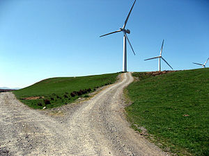
 Wind turbines on Moel Maelogan | |||
| Range: | Denbigh Moors | ||
| Summit: | 1,390 feet SH848613 53°8’13"N, 3°43’24"W | ||
Moel Maelogan is a hill at the western edge of the Denbigh Moors ('Mynydd Hiraethog'), in western Denbighshire, overlooking the Conwy Valley. It is known mostly as the general location of a wind farm. Its summit stands at 1,390 feet.
The hill is often called simply 'Maelogen', and may be spelled 'Moelogan' or 'Mælogan'.
The wind farm on the hill as created in 2002, with three turbines, each capable of producing 1300 kW. (This scheme marked erection of the United Kingdom wind industry's 1000th turbine.)[1] The wind farm had been set up by three local farmers to boost their incomes, under the name of Cwmni Gwynt Teg ("Fair Wind Company"). It was opposed locally, not least because, although not located in the Snowdonia National Park itself, the turbines are visible from many parts of it.
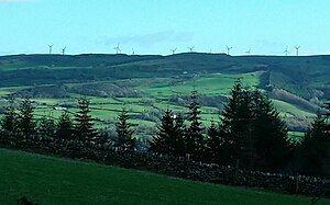
A new phase was begun in 2008, under the project name of "Ail Wynt" (Second Wind), also by Cwmni Gwynt Teg, for another 9 turbines.

Outside links
References
- 'Cwmni Gwynt Teg wins Ashden Award': Ashden Awards