Template:FP-River Vyrnwy
 |
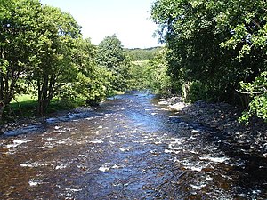
River VyrnwyThe River Vyrnwy is a river which flows through Montgomeryshire, and Shropshire. The river was once fed from the many rivers and streams running off the mountains surrounding the Vyrnwy valley, but since the Lake Vyrnwy dam was built in the 1880s, the river has flowed directly from the base of the dam, running for forty miles, the last eight of which form part of the border between Montgomeryshire and Shropshire. It joins the River Severn near Melverley. (Read more) |