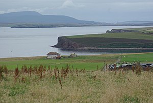
Template:FP-South Ronaldsay
 |
South RonaldsaySouth Ronaldsay is one of the islands of Orkney, in the south-east of the islands. It is linked to Mainland, Orkney by the Churchill Barriers which carry the road by way of Burray, Glimps Holm and Lamb Holm. It is the southernmost of the inhabited islands of Orkney, as North Ronaldsay coincidentally is the northernmost. The island's name, like that of almost all the islands, is from Old Norse, in which tongue it was known as Rognvaldsey; Rognvald's island, but far more ancient remains have been found here, back to the Stone Age. (Read more) |