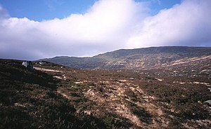
Tarfessock
| Tarfessock | |||
| Ayrshire | |||
|---|---|---|---|
 Tarfessock | |||
| Range: | Range of the Awful Hand | ||
| Summit: | 2,287 feet NX408892 55°10’18"N, 4°29’60"W | ||
Tarfessock is a mountain in the Range of the Awful Hand – a part of the Galloway Hills overspreading the county border of Ayrshire with Kirkcudbrightshire: Tarfessock is on the Ayrshire side. The 'fingers' of the Awful Hand to either side are Shalloch on Minnoch to the north, the northernmost finger, and Kirriereoch Hill to the south, its summit on the county border.
The mountain reaches 2,287 feet above sea level, which makes it the shortest of the fingers of the range.

Outside links
| ("Wikimedia Commons" has material about Tarfessock) |
References
- The Galloway Hills - Galloway Mountain Rescue Team
- The Galloway Hills by Sandy White on Walkingworld.com
