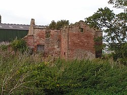
Lessonhall
| Lessonhall | |
| Cumberland | |
|---|---|

| |
| Location | |
| Grid reference: | NY224502 |
| Location: | 54°50’27"N, 3°12’33"W |
| Data | |
| Local Government | |
Lessonhall is a hamlet in Cumberland standing half a mile north of Waverton, and two miles north-west of Wigton, on the Solway Plain in the north-west of the county.