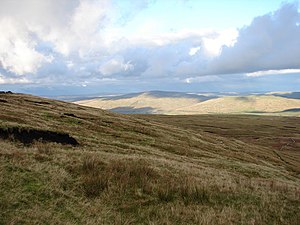
Knoutberry Hill
| Knoutberry Hill | |
| Cumberland, County Durham | |
|---|---|
 Knoutberry Hill, looking north-east | |
| Summit: | 2,192 feet NY803421 54°46’24"N, 2°18’31"W |
Knoutberry Hill stands on the border of Cumberland with County Durham, and marks Cumberland's easternmost point. The meeting point of the two shires with Northumberland is just 2,000 yards to the north.
The hill is within the northern Pennines. Its summit, at 2,192 feet above sea level, is blanketed in thick peat, presenting a flat, boggy area and unmarked. The River Nent flows westward from the summit area into Cumberland, heading for the South Tyne, and from the same summit bog flow a number of tributary gills which flow eastward and for the River Wear.