Aglionby
| Aglionby | |
| Cumberland | |
|---|---|
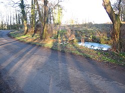
 Pond at Aglionby | |
| Location | |
| Grid reference: | NY447565 |
| Location: | 54°54’3"N, 2°51’46"W |
| Data | |
| Post town: | Carlisle |
| Postcode: | CA4 |
| Dialling code: | 01228 |
| Local Government | |
| Council: | Cumberland |
| Parliamentary constituency: |
Carlisle |
Aglionby is a village in Cumberland, in the north of the county, just east of the edge of Carlisle's townscape, on the A69 west of Warwick-on-Eden. It is north-east of Scotby and north-west of Wetheral (to whose civil parish it has been allocated).
The village comprises a series of ends, known as Rosegate, The Strand, Broomy Hill and Manor Croft. Woof House is found just off the Aglionby road end.
Carlisle Golf Course is across the road from Aglionby.
Outside links
| ("Wikimedia Commons" has material about Aglionby) |
