Crib Law, Roxburghshire
| Crib Law | |||
| Roxburghshire | |||
|---|---|---|---|
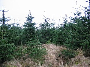
 The summit of Crib Law | |||
| Range: | Southern Uplands | ||
| Summit: | 1,390 feet NT339094 55°22’29"N, 3°2’41"W | ||
Crib Law is a hill of 1,390 feet within the Craik Forest of Roxburghshire.
The hill belongs to the Forestry Commission's large plantation of the Craik Forst, and the slopes of the hill are heavily afforested, right up to and over the summit.
The nearest village is the hamlet of Craik, below the hill at the end of the long, lonely lane driven through the hills from the east. The Romans and Reivers Route, a long-distance footpath, runs through the forest and just south of Crib Law to Caraik, on its way to the River Teviot at Hawick
