Nancegollan
| Nancegollan | |
| Cornwall | |
|---|---|
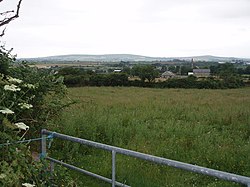
 Fields near Nancegollan | |
| Location | |
| Grid reference: | SW637321 |
| Location: | 50°8’31"N, 5°18’32"W |
| Data | |
| Local Government | |
| Council: | Cornwall |
Nancegollan is a village in western Cornwall, on the B3303 road and southeast of Leedstown.
The railway line from Helston to Hayle passed through the village, until closed in 1964.
On Polcrebo Downs is the engine house of the Polcrebo Mine which was working in the 1890s but is of very ancient origin.[1]
References
- ↑ Todd, A. C. & Laws, Peter (1972) The Industrial Archaeology of Cornwall. Newton Abbot: David & Charles; p. 236