West Acre
| West Acre | |
| Norfolk | |
|---|---|

| |
| Location | |
| Grid reference: | TF779152 |
| Location: | 52°42’22"N, 0°37’59"E |
| Data | |
| Post town: | King's Lynn |
| Postcode: | PE32 |
| Dialling code: | 01760 |
| Local Government | |
| Council: | King's Lynn and West Norfolk |
| Parliamentary constituency: |
North West Norfolk |
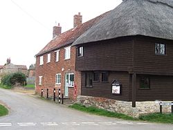
West Acre is a village in Norfolk, in the north of the county, downstream to the west of Castle Acre.
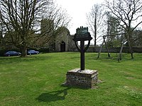
The parish church is All Saints' Church. The village pub is The Stag.
The River Nar loops around the southern edge of West Acre, just as it widens and enters the Bradwell Plantation, and following its course, the Nar Valley Way long-distance Norfolk path passes through the village. In the meadows towards the river are the remains of West Acre Prior.
Big Society
The village has a small theatre, built in a converted chapel.
West Acre Billiards Club is a small centre for the coaching and development of billiards and snooker, with a membership of around 25. It runs a free coaching clinic.

Outside links
| ("Wikimedia Commons" has material about West Acre) |
