Arnton Fell
| Arnton Fell | |||
| Roxburghshire | |||
|---|---|---|---|
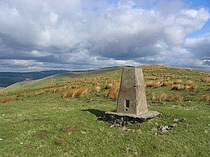
 The summit of Arnton Fell | |||
| Range: | Cheviot Hills | ||
| Summit: | 1,464 feet NY532960 55°15’22"N, 2°44’11"W | ||
Arnton Fell is a hill of 1,464 feet in Roxburghshire. It forms part of the Cheviot Hills

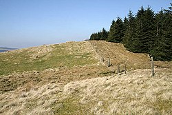
This is a long ridge fell standing in the angle of land between the Liddel Water to the southeast and the Roughley Burn to the northwest. Hermitage Castle beyond the far bank of the burn looks out on this mountain.