City Dulas
| City Dulas | |
| Anglesey | |
|---|---|

| |
| Location | |
| Grid reference: | SH470875 |
| Location: | 53°21’45"N, 4°18’2"W |
| Data | |
| Postcode: | LL70 |
| Local Government | |
| Council: | Anglesey |
| Parliamentary constituency: |
Ynys Môn |
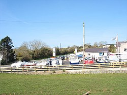
City Dulas is a tiny village on the Isle of Anglesey. It is in the north-east of the island, on the A5025 road, on low ground running down to nearby Dulas Bay, which opens into the Irish Sea.
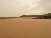
The Afon Goch runs through the village and immediately below City Dulas it creates a marsh beside the river down to a sandy enclosed estuary, Traeth Dulas, almost closed by a spit beyond which is the bay.
A little to the northeast is the village of Dulas, which has a church.
Origin of the name
The prefix "city" seems inexplicable in English. In Welsh the word has no meaning. The one suggestion that has been advanced is that it is indeed from the Welsh, Anglicised from Saith Tŷ, which would be Welsh for "Seven Houses".
References


This Anglesey article is a stub: help to improve Wikishire by building it up.