Low Rigg
| Low Rigg | |||
| Cumberland | |||
|---|---|---|---|
 Low Rigg | |||
| Range: | Lake District Central Fells | ||
| Summit: | 909 feet NY302227 54°35’42"N, 3°4’50"W | ||
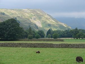
Low Rigg is a small hill located in Cumberland, amongst the Central Fells of the Lake District, standing a few miles east of the town of Keswick and slightly to the north of its larger neighbour, High Rigg.
This is a hill of modest elevation, being of insufficient size to merit inclusion in the famous Lake District guides produced by Alfred Wainwright. However, its position affords excellent views of the surrounding mountains such as Blencathra and Clough Head.
The hill may be climbed in a short walk from either the Naddle Valley or St John's in the Vale.

Upon Low Rigg is a beautiful a feature which its larger neighbour lacks, namely a fell-top lake; Tewet Tarn lies on the north slope of Low Rigg, looking out to the dale of the River Greta and beyond it mighty Blencathra.
Outside links
| ("Wikimedia Commons" has material about Tewet Tarn) |
