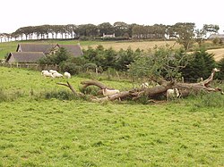
Plaidy, Aberdeenshire
| Plaidy | |
| Aberdeenshire | |
|---|---|
 Meadow at Plaidy | |
| Location | |
| Grid reference: | NJ729549 |
| Location: | 57°34’58"N, 2°27’18"W |
| Data | |
| Local Government | |
| Council: | Aberdeenshire |
Plaidy is a tiny hamlet beside the A547 in Aberdeenshire, about three miles north of Turriff and a little under twice that south of Banff.
The railway line south from Macduff, part of the Banff, Macduff and Turriff Junction Railway, once passed through here and there was a railway station at Plaidy, opened in 1860. The station closed in 1951 and line since been closed and the track removed.