Difference between revisions of "River Trothy"
From Wikishire
(Created page with "The River Trothy near Monmouth The '''River Trothy''' is a river which flows through north Monmo...") |
|||
| Line 1: | Line 1: | ||
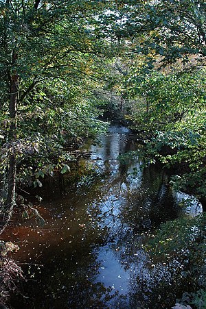
[[File:Afon Troddi-River Trothy - geograph.org.uk - 606762.jpg|right|thumb|The River Trothy near Monmouth]] | [[File:Afon Troddi-River Trothy - geograph.org.uk - 606762.jpg|right|thumb|The River Trothy near Monmouth]] | ||
| − | The '''River Trothy''' is a river which flows through | + | The '''River Trothy''' is a river which flows through northern [[Monmouthshire]]. |
| − | The river rises on Campston Hill, | + | The river rises on Campston Hill, north-east of [[Abergavenny]]. It flows southwards until [[Llanvapley]], where it turns east. At [[Monmouth]] the river joins into the [[River Wye]], about ⅓ mile downstream from the mouth of the [[River Monnow]]. |
| − | == | + | ==Outside links== |
{{commons category}} | {{commons category}} | ||
Revision as of 17:53, 20 August 2014
The River Trothy is a river which flows through northern Monmouthshire.
The river rises on Campston Hill, north-east of Abergavenny. It flows southwards until Llanvapley, where it turns east. At Monmouth the river joins into the River Wye, about ⅓ mile downstream from the mouth of the River Monnow.
Outside links
| ("Wikimedia Commons" has material about River Trothy) |
Coordinates: 51°48′4.3″N 2°42′12.8″W / 51.801194°N 2.703556°W
