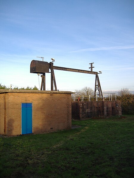
File:Severn Beach MMB 13 Severn Tunnel Pumping Station.jpg
From Wikishire

Size of this preview: 450 × 600 pixels. Other resolution: 180 × 240 pixels.
Original file (1,728 × 2,304 pixels, file size: 1.5 MB, MIME type: image/jpeg)
| Description | |
| Date | Taken on 18 November 2008, 15:33 |
| Source | Photo by mattbuck. |
| Author | mattbuck (category) |
| Permission (Reusing this file) |
This file is licensed under the Creative Commons Attribution-Share Alike 2.0 Generic license.
This file is licensed under the Creative Commons Attribution-Share Alike 3.0 Unported license.
|
| Other versions | Uploaded to flickr. |
| Camera location | | View this and other nearby images on: OpenStreetMap |
|---|
File history
Click on a date/time to view the file as it appeared at that time.
| Date/Time | Thumbnail | Dimensions | User | Comment | |
|---|---|---|---|---|---|
| current | 18:44, 6 January 2009 | | 1,728 × 2,304 (1.5 MB) | File Upload Bot (Magnus Manske) | {{ |
File usage
The following file is a duplicate of this file (more details):
- File:Severn Beach MMB 13 Severn Tunnel Pumping Station.jpg from a shared repository
The following page links to this file: