File:Arran satellite lamlash.jpg
From Wikishire
No higher resolution available.
Arran_satellite_lamlash.jpg (396 × 599 pixels, file size: 50 KB, MIME type: image/jpeg)
Summary
| Description | |||
| Date | 25 May 2007 (original upload date) | ||
| Source |
This file was derived from: Arran satellite.jpg |
||
| Author | The original uploader was Maxburgoyne at English Wikipedia. | ||
| Other versions |
|

Licensing
| This image is in the public domain because it is a screenshot from NASA’s globe software World Wind using a public domain layer, such as Blue Marble, MODIS, Landsat, SRTM, USGS or GLOBE.
|
 |
Original upload log
The original description page was here. All following user names refer to en.wikipedia.
- 2007-05-25 21:20 Maxburgoyne 396×599×??? (51468 bytes) picture already on wikipedia with slight alteration
File history
Click on a date/time to view the file as it appeared at that time.
| Date/Time | Thumbnail | Dimensions | User | Comment | |
|---|---|---|---|---|---|
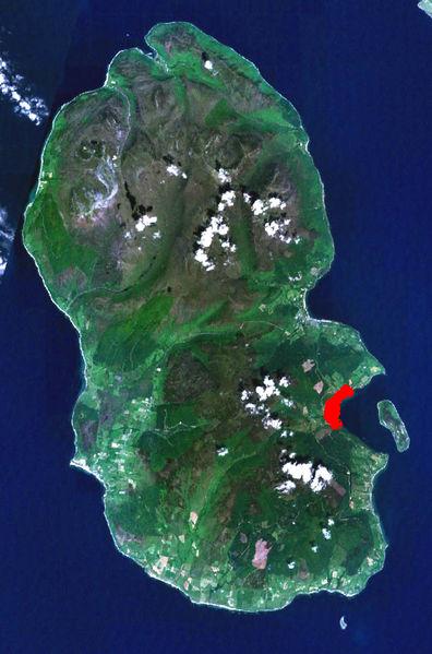
| current | 19:18, 28 September 2008 | | 396 × 599 (50 KB) | Finavon | {{Information |Description={{en|Satellite view of Isle of Arran showing Lamlash in red}} |Source=Transferred from [http://en.wikipedia.org en.wikipedia] |Date=2007-05-25 (original upload date) |Author=Original uploade |
File usage
The following file is a duplicate of this file (more details):
- File:Arran satellite lamlash.jpg from a shared repository
The following page links to this file: