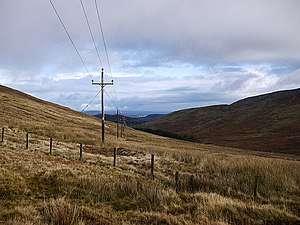
Slievenamuck
From Wikishire
Revision as of 23:40, 13 January 2022 by RB (Talk | contribs) (Created page with "{{Infobox hill |name=Slievenamuck |irish=Sliabh Muice |county=Tipperary |range=Galtee Mountains |picture=Power lines, Slievenamuck - geograph.org.uk - 2127577.jpg |picture cap...")
| Slievenamuck | |||
| County Tipperary | |||
|---|---|---|---|
 On Slievenamuck | |||
| Range: | Galtee Mountains | ||
| Summit: | 1,211 feet R842306 52°25’37"N, 8°13’59"W | ||
Slievenamuck is a mountain of 1,211 feet in the Galtee Mountains. It is an outlier of the group, away from the main ridge of the mountains and to the north, on a ridge in County Tipperary known as the 'North Galtys' separated from the main group by the Aherlow River.