Lyracappul
From Wikishire
Revision as of 17:52, 8 January 2022 by RB (Talk | contribs) (Created page with "{{Infobox hill |name=Lyracappul |irish=Ladhar an Chapaill |county=Limerick |picture=Wall and Summit - geograph.org.uk - 1031562.jpg |picture caption=The wall on the summit of...")
| Lyracappul | |||
| County Limerick | |||
|---|---|---|---|
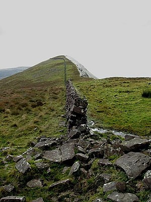
 The wall on the summit of Lyracappul | |||
| Range: | Galtee Mountains | ||
| Summit: | 2,707 feet R878238 52°21’38"N, 8°13’38"W | ||
Lyracappul is a mountain in County Limerick. At a height of 2,707 feet, it is the second highest of the Galtee Mountains (and the second highest point in County Limerick): it is the 29th highest peak in Ireland.
The name of the maountain is from the Irish language: Ladhar an Chapaill, meaning 'Fork/confluence of the horse'.