File:Dublin-Castle-Green-Park-2012.JPG
From Wikishire
Size of this preview: 800 × 414 pixels. Other resolution: 320 × 166 pixels.
Original file (3,402 × 1,761 pixels, file size: 2.04 MB, MIME type: image/jpeg)
Summary
| Description |
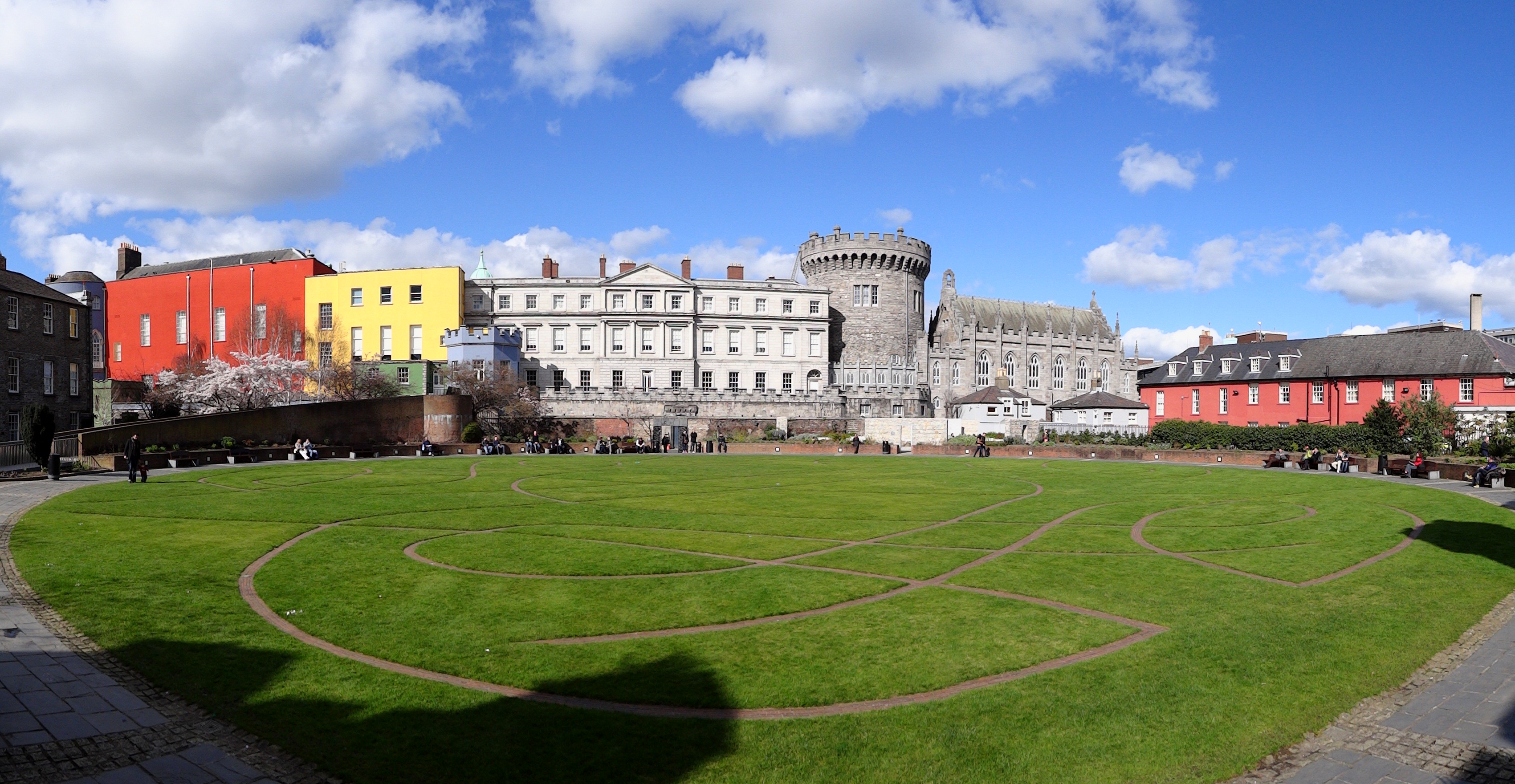
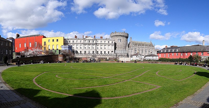
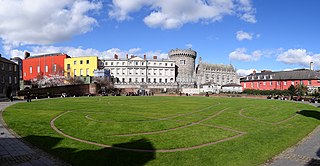
English: Dublin Castle seen from the "back side", a park surrounded by the Chester Beatty Library on the west side (barely showing in the left side of the photo), a police station on the east side (showing to the right, a light red building), and Dublin Castle on the north side.
The bits of the castle shown here are, from left to right or west to east, (barely, the bluish tower partially covered by the library building) The Bermingham Tower, the red Saint Patrick's Hall, the yellow Battleaxe Landing, the bluish-grey Octagonal Tower, the State Apartments, the Record Tower (the tallest bit) and finally the Chapel Royal. |
| Date | Taken on 18 March 2012 |
| Source | Own work by uploader, http://bjornfree.com/galleries.html |
| Author | Bjørn Christian Tørrissen |
| Camera location | | View this and other nearby images on: OpenStreetMap |
|---|
Licensing
I, the copyright holder of this work, hereby publish it under the following license:
This file is licensed under the Creative Commons Attribution-Share Alike 3.0 Unported license.
- You are free:
- to share – to copy, distribute and transmit the work
- to remix – to adapt the work
- Under the following conditions:
- attribution – You must give appropriate credit, provide a link to the license, and indicate if changes were made. You may do so in any reasonable manner, but not in any way that suggests the licensor endorses you or your use.
- share alike – If you remix, transform, or build upon the material, you must distribute your contributions under the same or compatible license as the original.
File history
Click on a date/time to view the file as it appeared at that time.
| Date/Time | Thumbnail | Dimensions | User | Comment | |
|---|---|---|---|---|---|
| current | 20:05, 9 May 2012 | | 3,402 × 1,761 (2.04 MB) | Uspn |
File usage
The following file is a duplicate of this file (more details):
- File:Dublin-Castle-Green-Park-2012.JPG from a shared repository
The following page links to this file: