File:Beddgelert bridge.jpg
From Wikishire

Size of this preview: 800 × 533 pixels. Other resolution: 320 × 213 pixels.
Original file (2,401 × 1,600 pixels, file size: 3.36 MB, MIME type: image/jpeg)
| Description |
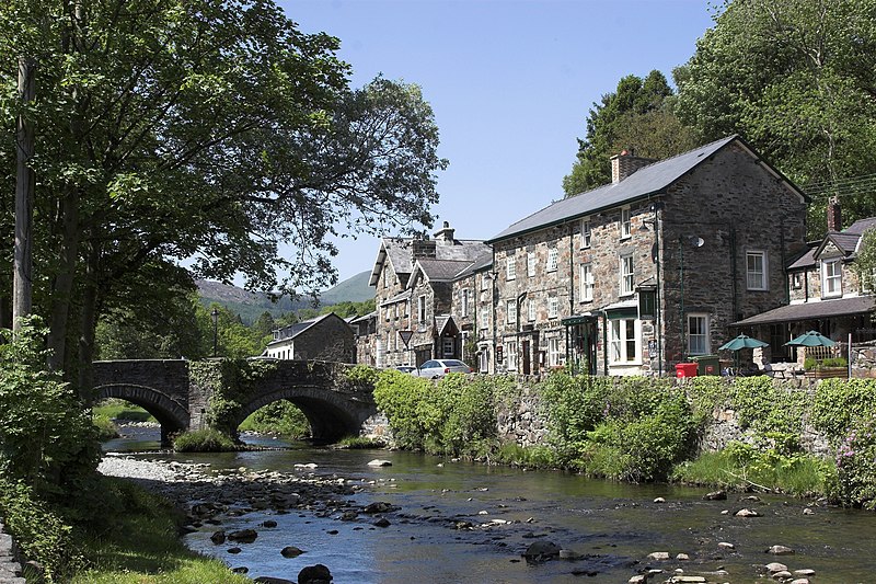
English: In Beddgelert, Snowdonia |
||
| Date | |||
| Source | Own work | ||
| Author | Herbert Ortner | ||
| Permission (Reusing this file) |
I, the copyright holder of this work, hereby publish it under the following licenses:
This file is licensed under the Creative Commons Attribution 3.0 Unported license.
This file is licensed under the Creative Commons Attribution 3.0 Austria license.
 You may select the license of your choice. |
||
| Other versions |

| Camera location | | View this and other nearby images on: OpenStreetMap |
|---|
File history
Click on a date/time to view the file as it appeared at that time.
| Date/Time | Thumbnail | Dimensions | User | Comment | |
|---|---|---|---|---|---|
| current | 18:55, 19 October 2009 | | 2,401 × 1,600 (3.36 MB) | Herbert Ortner | {{Information |Description={{en|1=In Beddgelert, Snowdonia}} |Source={{own}} |Author=Herbert Ortner |Date=2009-05-30 |Permission= |other_versions= }} Category:Beddgelert |
File usage
The following file is a duplicate of this file (more details):
- File:Beddgelert bridge.jpg from a shared repository
The following 2 pages link to this file: