Difference between revisions of "Ermin Street"
From Wikishire
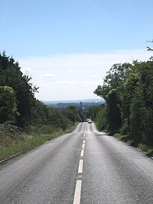
(Created page with "{{distinguish|Ermine Street}} South-eastwards along the route of Ermin Street near Cirencester {{...") |
(No difference)
|
Latest revision as of 13:52, 27 October 2014
- Not to be confused with Ermine Street
Ermin Street or Ermin Way is one of the great Roman roads of Britain. It linked Gloucester (Glevum) and Silchester (Calleva Atrebatum) by way of Cirencester (Corinium Dobunnorum).
Much of the road is now covered by the modern A417, A419 and B4000 roads.
Coordinates: 51°37′39″N 1°49′12″W / 51.62739°N 1.81987°W
