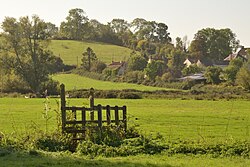
Difference between revisions of "Bleadney"
From Wikishire
(Created page with "{{Infobox town |name=Bleadney |county=Somerset |picture=Small Footbridge in a Field, near Bleadney, Somerset (geograph 7311998).jpg |picture caption= |os grid ref=ST483453 |la...") |
(No difference)
|
Latest revision as of 13:58, 7 March 2024
| Bleadney | |
| Somerset | |
|---|---|

| |
| Location | |
| Grid reference: | ST483453 |
| Location: | 51°12’18"N, 2°44’27"W |
| Data | |
| Postcode: | BA5 |
| Local Government | |
| Council: | Somerset |
Bleadney is a hamlet in Somerset, strung along a ridge amidst the Somerset Levels that stretches from Wells to Wedmore, carrying the B3039. It adjoins Henton to the east on the ridge.
Outside links
| ("Wikimedia Commons" has material about Bleadney) |