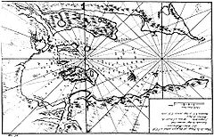
Long Island, Falkland Islands
| Long Island | |
| Location | |
| Location: | 51°33’-0"S, 58°4’0"W |
| Data | |
Long Island is the largest island in Berkeley Sound, amongst the Falkland Islands.
During the August 1833 events in nearby Port Louis, the surviving members of Louis Vernet's settlement, seeking refuge on the nearby Hog Island to escape the murderous gang of Antonio Rivero, regularly sent their boat to Long Island for food supplies to bring cattle, pigs, and geese.
There is one listed building on the island, the Old House. [1]
References
- ↑ "Falkland Islands Information Web Portal". Buildings and Structures in the Falkland Islands designated as being of Architectural or Historic Interest. http://www.falklands.info/background/listedb.html. Retrieved 2008-07-08.

This Falkland Islands article is a stub: help to improve Wikishire by building it up.
