Knockmoyle
| Knockmoyle | |
| Tyrone | |
|---|---|

| |
| Location | |
| Grid reference: | H442782 |
| Location: | 54°39’-0"N, 7°19’0"W |
| Data | |
| Population: | 329 (2001) |
| Dialling code: | 028 |
| Local Government | |
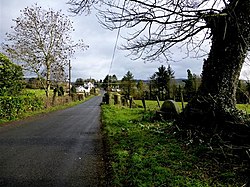
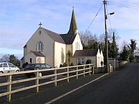
Knockmoyle is a hamlet and a townland in Tyrone, five miles north-west of the county town, Omagh. The 2001 census recorded in the Knockmoyle area 141 households, and a population of 329. It has a post office, a Roman Catholic church (built in 1800) and a public house.
The name of the village is from the Gaelic an Cnoc Maol'; 'the bald hill'.
The nearby River Strule is well known for its trout fishing. Other attractions nearby include the Gortin Glens Forest Park and the Ulster American Folk Park. The Ulster Way walking route passes through Knockmoyle.
| ("Wikimedia Commons" has material about Knockmoyle) |
References

