Arford
| Arford | |
| Hampshire | |
|---|---|
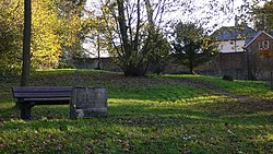
 The green at Arford | |
| Location | |
| Grid reference: | SU832637 |
| Location: | 51°7’28"N, -0°48’40"W |
| Data | |
| Post town: | Bordon |
| Postcode: | GU35 |
| Dialling code: | 01428 |
| Local Government | |
| Council: | East Hampshire |
| Parliamentary constituency: |
East Hampshire |
Arford is a village in Hampshire, in the very east of the county, a mile and a half west of the Surrey border and close too to that of Sussex. It is to be found just north of the B3002 road, beside Headley, to which parish it has been attached.
The village is about half a mile from Headley village centre and three and a half miles north of Liphook, which has the nearest railway station.
Outside links
| ("Wikimedia Commons" has material about Arford) |
