False Bay


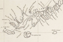
False Bay is a bay four miles long on the south coast of Livingston Island, one of the South Shetland Islands in the British Antarctic Territory
The bay lies between Barnard Point and Miers Bluff. A number of glaciers, the Hurd Ice Cap, Huntress, Ruen Icefall, Peshtera and Charity feed the bay.
The bay was probably first entered and charted by Captain Nathaniel Palmer in November 1820, and was likely named because of the possibility in thick weather of confusion between this feature and nearby South Bay, where Johnsons Dock was frequented by the early sealers.
The bay was recharted by Discovery Investigations in 1935. It was photographed from the air by the Falkland Islands and Dependencies Aerial Survey Expedition in 1956-57, and surveyed from the ground by the Falkland Islands Dependencies Survey in 1958-59.
Location
- Location map: 62°42’58"S, 60°21’58"W
References
- Gazetteer and Map of The British Antarctic Territory: False Bay